Botlink, founded in 2016 by ex-USAF drone pilots, works everyday to make drones easier to utilize, and the data they collect, more effective.
We understand your day to day, and we’ve helped countless groups utilize drones to make their operations simpler and more effective.
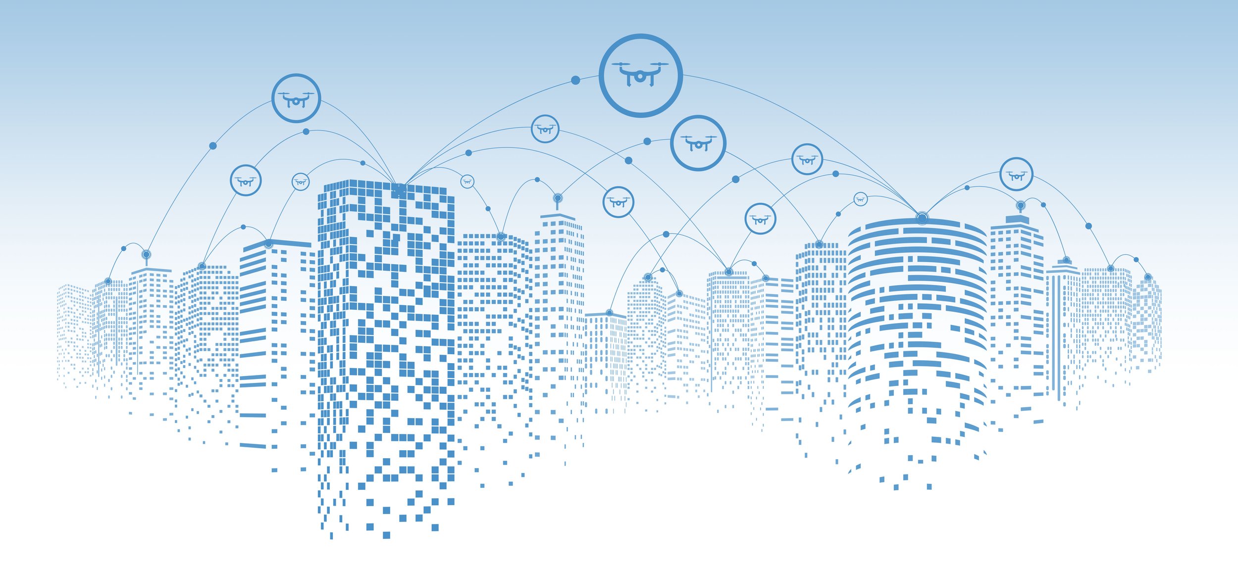
At Botlink, we see the potential drones have for commercial applications.
Our intuitive interface empowers industries like aggregate, agriculture, construction, energy, and more, by providing real-time insights that were once out of reach. Whether you're an operations manager tracking production output and inventory, a farmer optimizing crop yields, or an energy company inspecting critical infrastructure, Botlink equips you with the tools to make informed decisions and drive productivity.
What sets Botlink apart is our commitment to simplicity and innovation. We've combined the power of drones with state-of-the-art data analysis, enabling you to turn complex data into actionable insights. Say goodbye to manual processes and hello to streamlined operations. Join us in shaping the future of industries with Botlink – where aerial intelligence meets limitless possibilities.

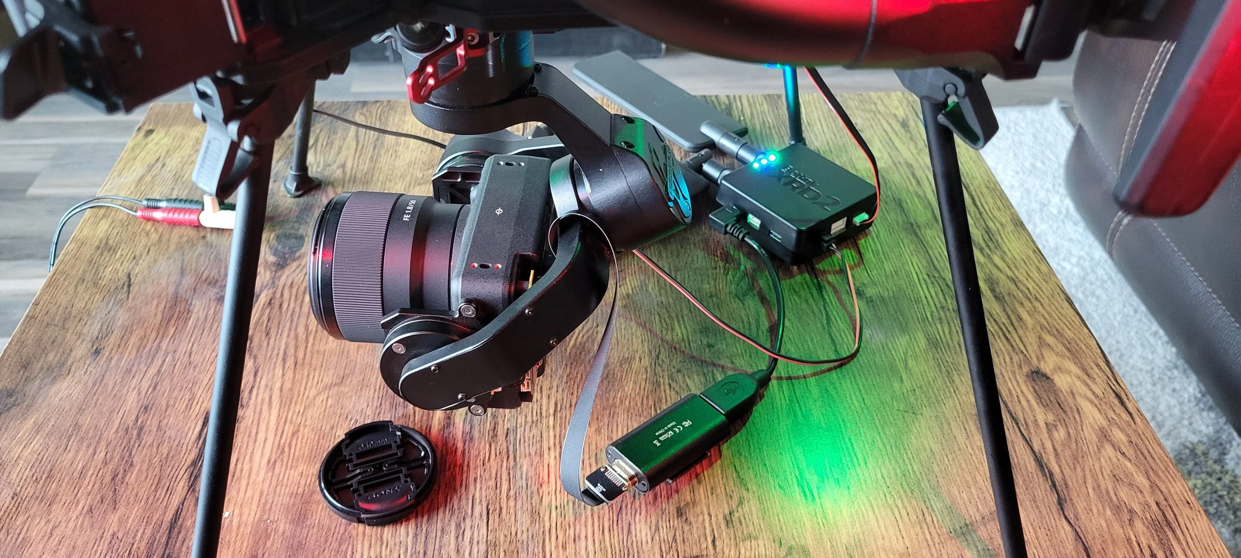
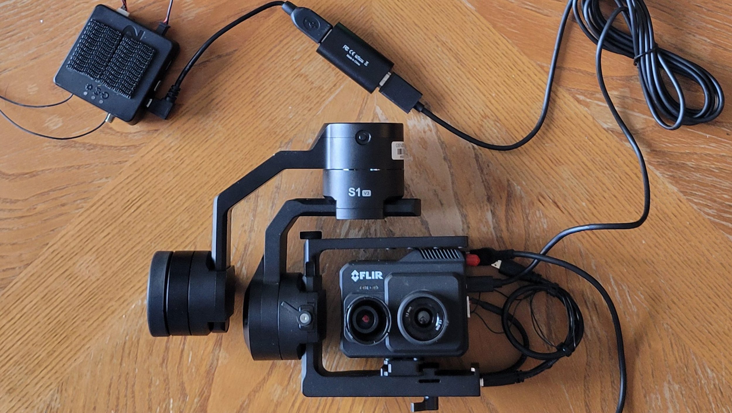
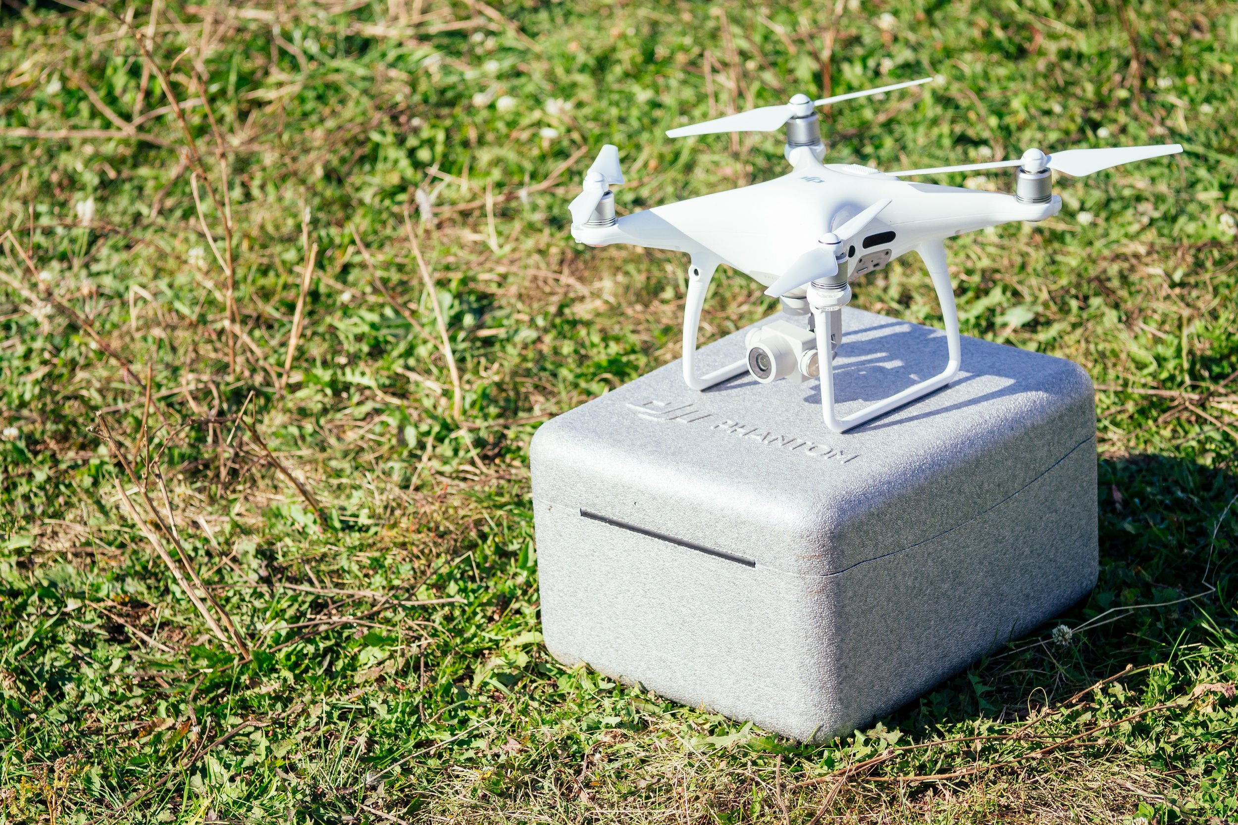
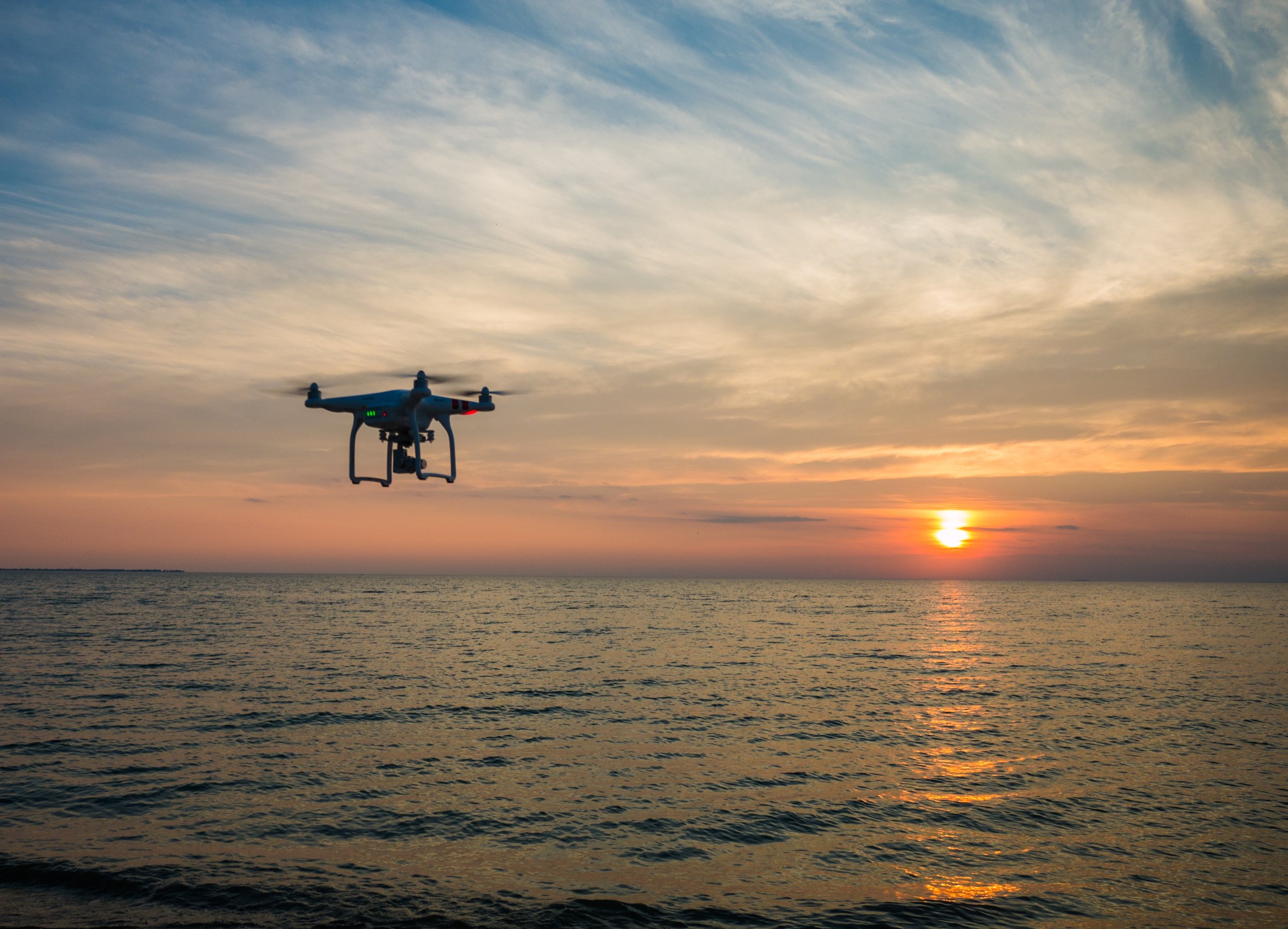
Botlink XRD2
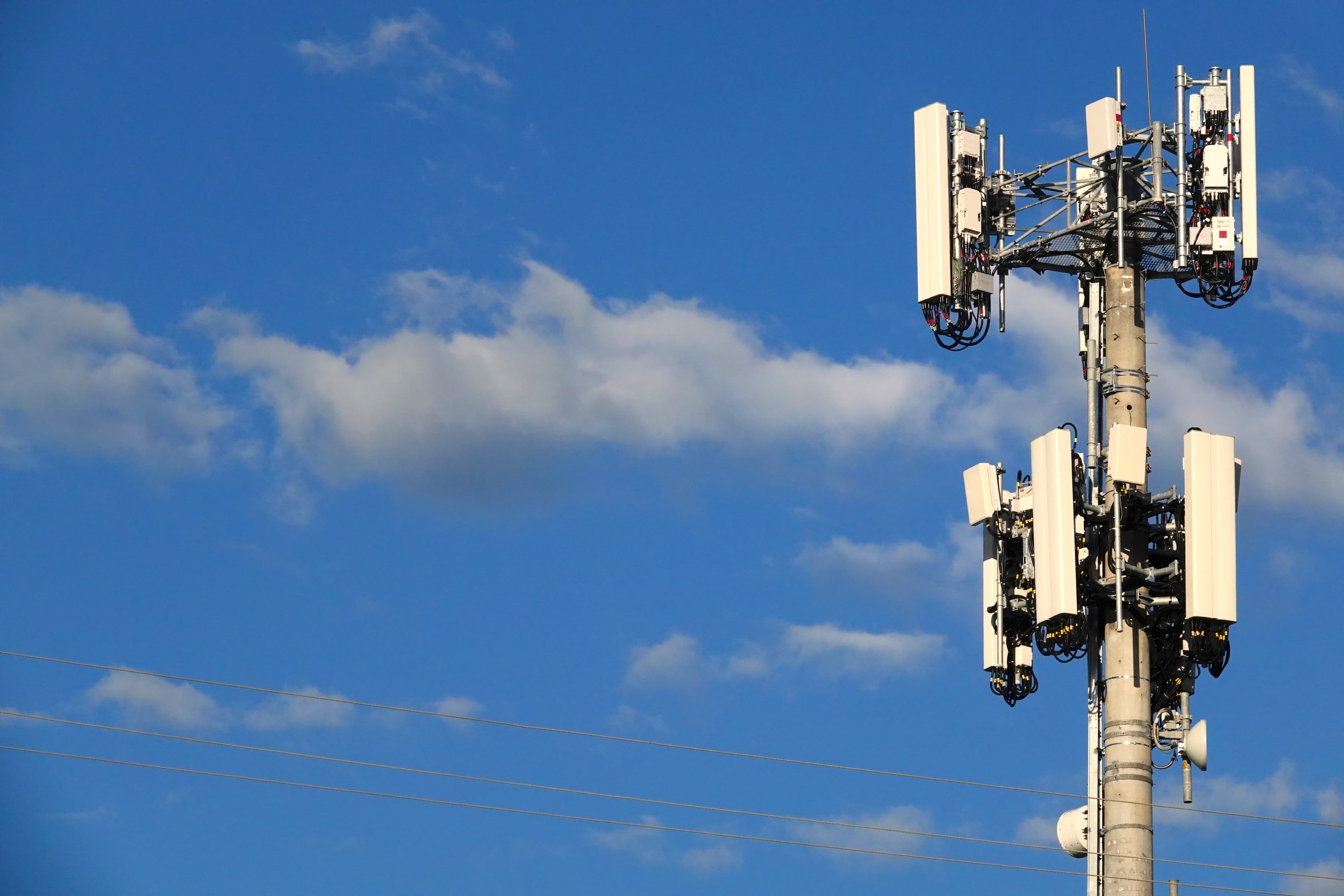
The Botlink XRD2 is UAS command and control hardware and software solution, allowing drone control from anywhere in the world via cellular networks. An enabling technology for safe beyond visual line of sight (BVLOS) flights, the XRD2 uses carrier-approved LTE components for airborne operations.
The Botlink XRD2 system consists of two components — a PC connection application, and a small hardware device that’s connected to the drone autopilot, making integration simple and effective with the ability to read live data, track telemetry, and control multiple UAVs, the XRD2 is ideal for managing large drone fleets. The flight-proven XRD2 system allows you to easily integrate LTE command and control in the same nature as traditional point-to-point radios.
Easy to Integrate / Real-Time Video / Customer Service / Security / NDA 889 Compliant

Botlink InSites
High-Definition Maps - After capturing imagery, turn your entire site into a single, high-definition orthomosaic image. This means more detailed modeling and map creation, which leads to better project management, a safer worksite and increased efficiency at your job.
Terrain Models -Terrain models are perfect for discovering high and low points of an area and for quickly identifying any potential drainage problems that may arise.
Vegetation Index - Generate NDVI maps with the imagery captured from your drone. Easily detect stressed, diseased and unhealthy crops that the naked eye can’t see. Find clear solutions and take action in minutes, not days
or weeks.
3D Models - Develop incredible 3D maps with Botlink’s mapping software and transform the way you look at data. Zoom in, rotate, analyze terrain from any angle and take accurate volumetric measurements without having to leave your tablet or computer.


Our mission is to make operating drones more effective while keeping operational costs low. Reach out to learn how we can help.

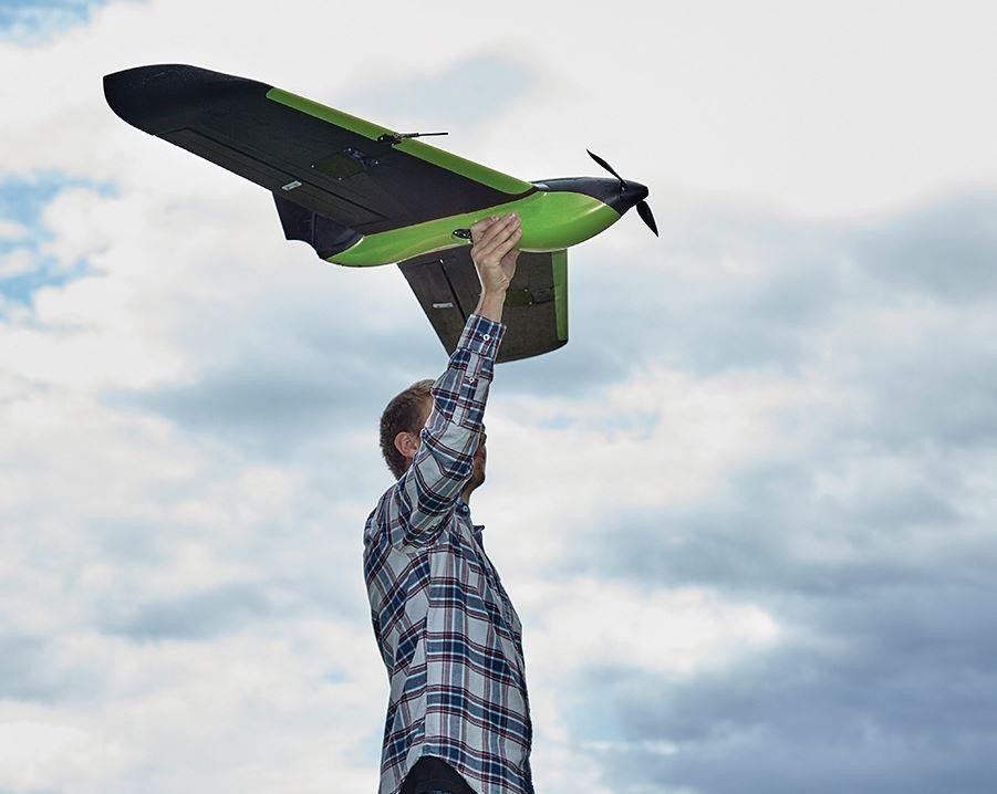
Capture Flight App
Connect Drones Seamlessly - Connect to the most common DJI drones available and save multiple profiles in the Botlink app to select the right drone for the right job.
Flight Control Reimagined - Experience fully automated takeoffs, landings and everything in-between with the Botlink Capture app.
Flight Planning Made Simple - Choose the type of survey you want and simply drag and drop to create a unique and customizable flight plan. Then save your plans to quickly take to the skies and track your site over time, whenever you want.
Pick Up Right Where You Left Off - You’ve got a big job to do, and we’ll help you do it right. When the area you’re mapping is larger than your drone battery or line-of-site regulations allow, simply land, swap batteries and resume without losing your flight progress.


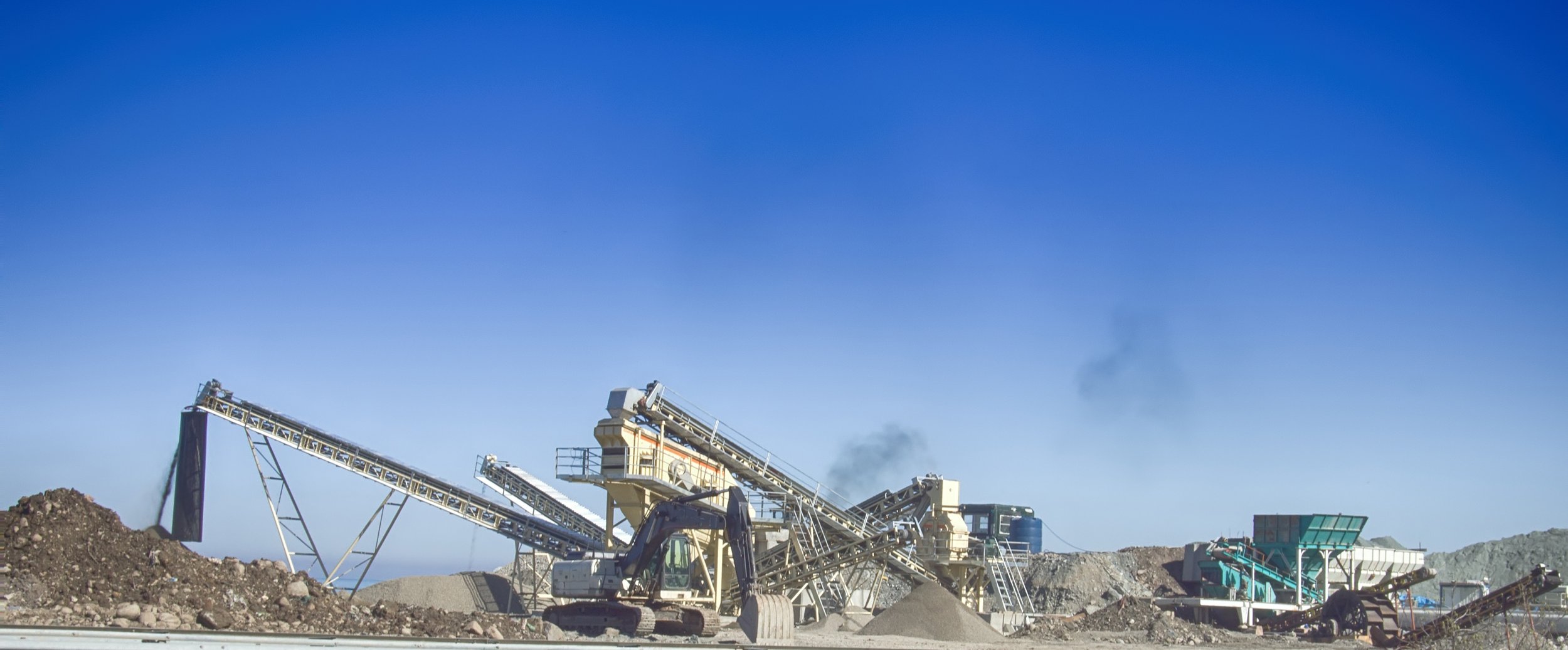
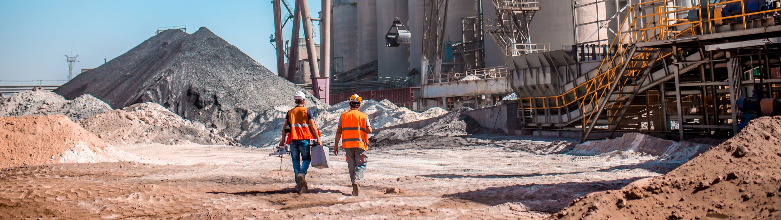
PitPartner is a cloud-based software that connects aggregate operations to the scale house, employees, loaders, trucks, customers, haulers, and product data across all device types, improving profitability, communication, and time savings across a pit operation.
Costs less than pen and paper: Using pen and paper to track activity is cheap. The cost of pen and paper is expensive. Pit Partner eliminates the need for handwritten lists, manually entering the same data more than once, reducing errors and saving time. Captured information is immediately available to authorized users and permanently stored. Reducing the costs and time spent on administrative tasks generated with pen and paper, PitPartner enables teams to focus on revenue-generating or strategic activities that drive profitability.
Complement your current processes: PitPartner is designed to help you improve your operation. It’s designed to help you harvest more revenue with less work while complementing your current operating procedures and accounting practices—compatible with exporting data into QuickBooks.
Real-Time Monitoring and Reporting: With instant visibility into the progress and performance of pit operations, Pit Partner enables data-driven decision-making, allowing teams to identify potential issues, optimize processes, and maximize revenue generation.
Capture Every Load: Pit Partner ensures accurate data capture and helps minimize missed truckloads, directly contributing to increased revenue.
…and more
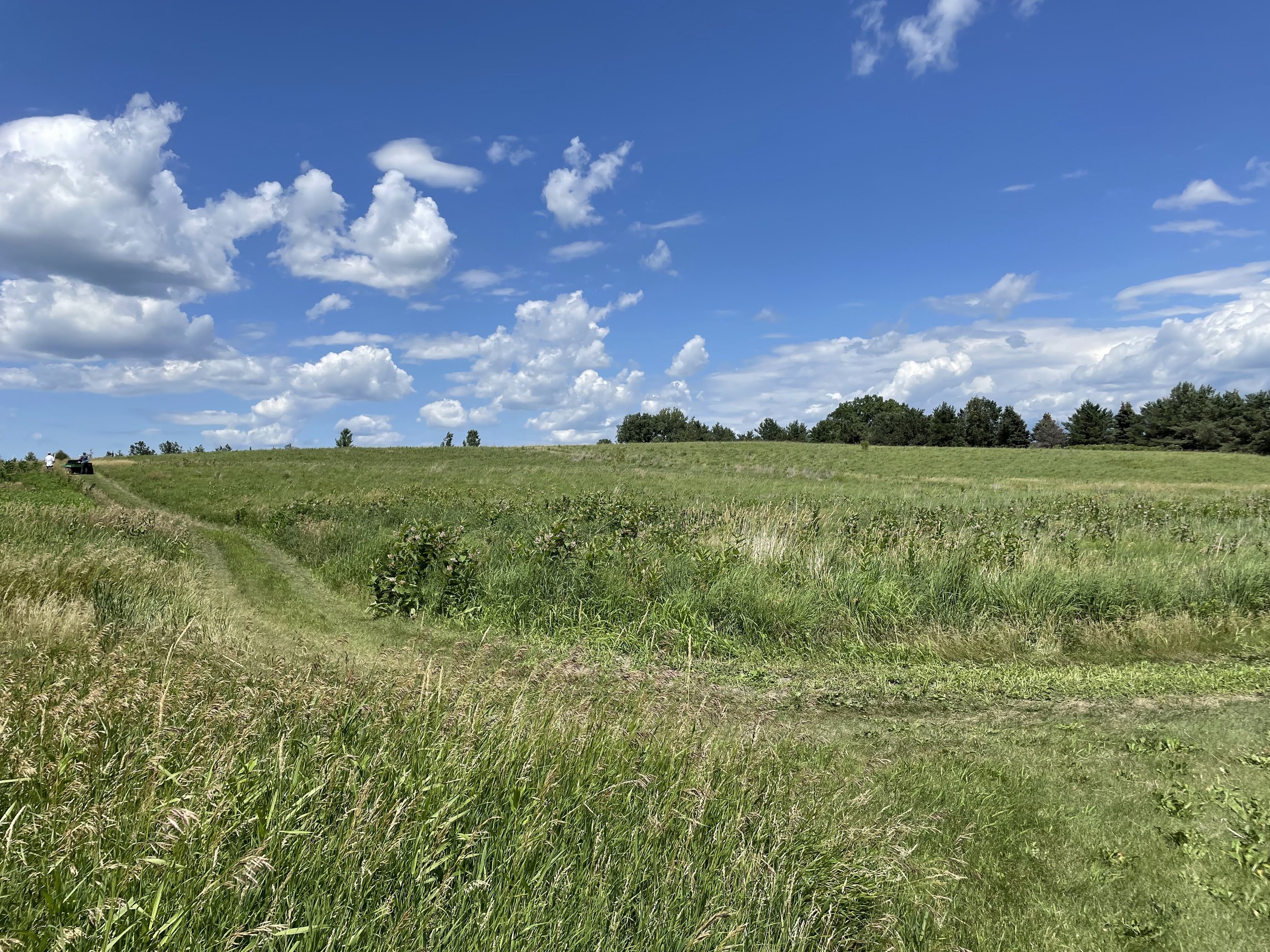


POLLi is a technology platform designed to support organizations with conservation and environmental management practices and reporting. Utilizing machine learning to evaluate remotely sensed data captured by drones, POLLi delivers real-world information fast and affordably.
Collect image data at the proper resolution on the POLLi flight application
Import the image data to the POLLi platform
Process the data through algorithms hosted on the POLLi platform
Analyze and visualize the results in POLLi
Share the statistics with others or export results into your respective GIS tool
Initially designed to use machine learning algorithms to identify common milkweed plants for monarch conservation efforts, POLLi is built to quickly integrate new algorithms, opening up a world of possibilities. The POLLi platform, and all the amazing things that will continue to built upon it, is just beginning to take shape.